
Lancaster ZIP Code Directory Coverage
Five ZIP contexts appear in Lancaster research, but they do not all describe a residential part of the City. The familiar delivery ZIPs 17601, 17602, and 17603 cross postal and municipal geography. The remaining two are mainly postal or government-mail contexts. For a single address, the controlling answer comes from the Postal Service lookup, followed by the parcel’s municipality. That two-part check avoids treating a “Lancaster, PA” mailing label as proof that the property is inside the City.
| ZIP | Areas Covered | Post Office | Notes |
|---|---|---|---|
| 17601 | Much of northern and eastern Lancaster postal area, extending beyond City geography | East Lancaster Post Office, 1813 Olde Homestead Ln.; Neffsville facilities | Could be City or a surrounding municipality. Verify the parcel jurisdiction. |
| 17602 | Central and southeastern Lancaster City postal addresses and nearby postal area | Verify the exact delivery address with USPS | County courthouse and City-related addresses use it, but it is not a City-limit line. |
| 17603 | Western and southwestern Lancaster City postal addresses and adjacent area | Downtown Lancaster, 48-50 W. Chestnut St.; Rohrerstown facility | Mailing addresses can cross municipal boundaries. |
| 17604 | Lancaster postal-facility, organizational, and bulk-mail usage | Lancaster Post Office, 1400 Harrisburg Pike, listed as 17604-9992 | Do not treat it as a geographic City residential area unless USPS confirms a specific address. |
| 17608 | Government and mail addressing context | Verify delivery with USPS; County court correspondence uses a 17608 post-office box | A mailing context, not a residential boundary. |
No official source located a Lancaster ZIP realignment date or a complete set of ZIP-level population or registration counts. A claimed split, realignment, or population figure needs an official source, not an inference from a map or mailing address.
Verify a Lancaster ZIP Code by Address
The official first step is the USPS ZIP Code Lookup. Enter the full delivery address rather than relying on a nearby address or a remembered neighborhood label. The result confirms the Postal Service routing for that delivery point. It does not confirm a voting district, a municipal boundary, a parcel line, or the person connected with the address. Retain the verified ZIP as one field in a record search, not as a substitute for the street number and municipality.
The official USPS lookup is the source for confirming a ZIP code assigned to a specific Lancaster delivery address.
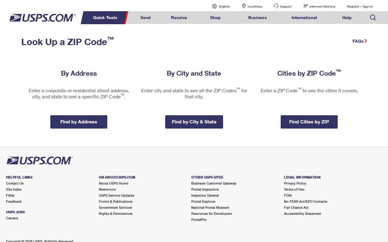
The Postal Service screen supports address-to-ZIP verification, which is the right order before checking a Lancaster parcel or a court case field.
- Enter the full street address in USPS ZIP Code Lookup and record the returned ZIP code.
- Open the County property record with the address, parcel, owner, or municipality fields that it actually supports.
- Check the municipality or City ward on the parcel before directing a City permit or Right-to-Know request.
- Use a court, deed, or other source only for its specific record question, keeping the address and date attached to the result.
Note: A ZIP code is a delivery-routing fact. It should be verified again when the address is incomplete, newly developed, or presented with a nearby mailing-city label.
Lancaster ZIP Code Boundaries and City Limits
USPS ZIP codes are mail-delivery routes, not municipal boundaries, voting districts, parcel layers, or proof of where someone lives. Lancaster City meets Lancaster Township, Manheim Township, East Lampeter, West Lampeter, and other nearby jurisdictions. The same postal city can therefore lead to a City ward, a City annex code, or a township in the County system. A ZIP-wide result without that municipal check can send a request to the wrong office.
The Lancaster County GIS Division describes LanCo View 2.0 and its parcel and mapping resources.
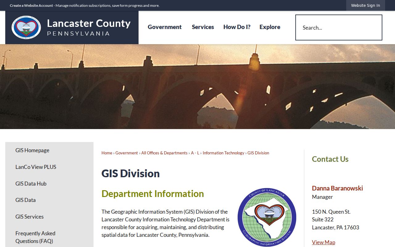
LanCo View provides parcel context, while the County assessment system identifies the municipality and account details needed to distinguish a City address from an adjacent-area mailing address.
County Assessment uses separate City Wards 1-9, City annex codes, and township choices. Its Property Tax Inquiry is therefore more useful for municipal confirmation than a ZIP alone. LanCo View can add parcel geometry, acreage, dimensions, deed reference, aerial imagery, roads, and other map layers. Neither source is a directory of everyone at an address.
Lancaster ZIP Code Terms to Know
Postal terms should be kept separate from property and legal-description terms. A present-day situs address identifies the location of land or a building. A legal description identifies land in a deed, and an owner mailing address is correspondence information. The three can differ. In older Lancaster research, a deed may name a Hamilton lot, bounding street, alley, or neighbor rather than a modern delivery address.
- ZIP code
- A Postal Service delivery-routing code. It does not set a municipal boundary or prove occupancy.
- ZIP+4
- The extra four digits that refine delivery sorting within a ZIP code. It is not a parcel identifier.
- Post-office ZIP
- A ZIP used for a post-office box, government correspondence, bulk mail, or an organization. It may have no geographic residential area.
- Carrier route
- A Postal Service delivery grouping within a ZIP. It is not a public resident roll or a City ward.
- Situs address
- The physical property location carried in an assessment record, distinct from an owner’s mailing address.
The 1730 City grid used rectangular Hamilton lots, eight to a block, with rear alleys. That history helps explain why an older local record may need a map, lot, or boundary description instead of a ZIP code. For historical addresses, directories and maps are often a better bridge than a modern delivery code.
Lancaster ZIP Code Search Fields
Do not invent a ZIP-wide parcel search. The County Property Tax Inquiry supports parcel/account, owner name, house-number range, street name, municipality, property class, land use, sale, building-year, and square-footage criteria. It does not display a public ZIP search field. The public court system does expose Parcel ZIP Code among property-related advanced criteria, but that criterion searches relevant court cases, not a directory of parcels or people.
| Field | What the official tool supports |
|---|---|
| USPS full address | Address-to-ZIP verification for a delivery point. |
| wEdge street and house number | Site-address search; a low and high number can help examine a segment. No ZIP field is shown. |
| wEdge municipality | City Wards, City annex codes, and townships, which are needed to confirm jurisdiction. |
| UJS County and participant | County-filtered public docket research with the lightest useful name criteria. |
| UJS parcel ZIP code | An optional property-related advanced case criterion, alongside address, city, state, county, and municipality. |
UJS Case Search is free statewide docket research. Not every field applies to each search mode, and court material can be sealed, limited-access, juvenile, or otherwise unavailable. A parcel ZIP field can narrow a case query after the address is verified; it cannot establish a household list for the ZIP.
Use a Lancaster ZIP Code as One Filter
A ZIP code is useful as an area check, but the next action depends on the question. For municipal jurisdiction, use the verified address and parcel municipality. For assessed-owner information, use wEdge’s parcel, street, owner, and municipality fields. For a property map, use LanCo View and record the parcel or deed reference. For a relevant court matter, use UJS with a County and an address or Parcel ZIP Code criterion. Each result describes a limited record, not an all-purpose answer.
- Verify the delivery ZIP with USPS, then keep the full address intact.
- Use wEdge to locate the parcel/account and select the correct City ward, annex code, or township.
- Open LanCo View for parcel geometry and deed-reference context when mapping matters.
- Use UJS only when a case-related question calls for its optional parcel address or ZIP criteria.
- For a street-level path after a ZIP is narrowed, use the Lancaster by-street directory rather than trying to turn postal boundaries into a street list.
Pennsylvania’s voter registration status page is an individual self-status channel. A Street List, Walking List, Public Information List, or Full Voter Export is a signed official request with use limits, electronic delivery, and a stated $20 County charge. Those lists are not an anonymous ZIP browser, and they must not be republished on the Internet.
Lancaster ZIP Codes Do Not Identify Residents
An assessed owner and an owner mailing address do not establish who occupies a property. The mailing address can be a post-office box, office, fiduciary address, or another property. The situs address identifies land or a building, not every person associated with it. That distinction matters even when the ZIP and the mailing city are correct. Describe a result accurately as the assessed owner and mailing address as recorded, then seek a different official source if the question is about a particular historical or legal record.
The City’s open-records process remains a route for identifiable existing City records, subject to exemptions and redactions. A request needs a record, date range, subject, author, title, or other search aid. It is not a request for an agency to create a resident list from a ZIP code.
Note: Treat a missing online result as a limitation of that record system, not proof that an address, household, or history does not exist.
Lancaster ZIP Code Context Is Citywide
Citywide statistics provide context, not ZIP-level facts. The U.S. Census QuickFacts profile for Lancaster city reports a July 1, 2025 population estimate of 58,366 and 7.23 square miles of land. The compact City and surrounding-township overlap are reasons to be exact about a parcel’s jurisdiction. They do not justify assigning a Citywide statistic to 17601, 17602, 17603, 17604, or 17608.
The Census QuickFacts view provides Citywide geographic and household context for Lancaster.
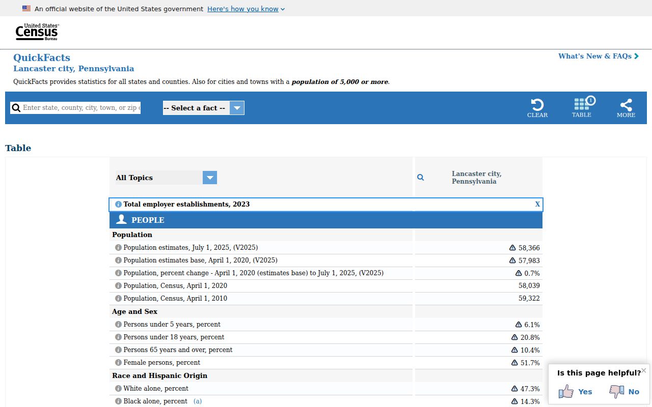
The Census image is useful background for the City’s compact geography, but USPS and County parcel tools remain the sources for an address-level ZIP and municipality check.
For historic research, ZIP codes are a modern layer. Digitized city directories from 1843-1922, the 1842-1899 map sequence, deeds with legal descriptions, and historic permit volumes use older location clues. A street, corner, lot, alley, or map reference can bridge a historical address to a later one without pretending that an old record used a modern ZIP.